Back to Weather

5-day forecast / Van Alstyne, TX

WednesdayCloudy then Chance Showers And Thunderstorms91° / 71° 35%
ThursdayShowers And Thunderstorms81° / 68° 100%
FridayShowers And Thunderstorms79° / 64° 81%
SaturdayShowers And Thunderstorms Likely76° / 63° 66%
SundayChance Rain Showers78° / 60° 30%

Van Alstyne’s Thursday plans face heavier overnight rain

Van Alstyne weather, updated every four hours — local forecasts you can trust.

Grayson and Collin counties remain in the Flood Watch as the forecast focuses on repeated storms overnight and Thursday.

Van Alstyne Newsroom

September 30, 20261 min read

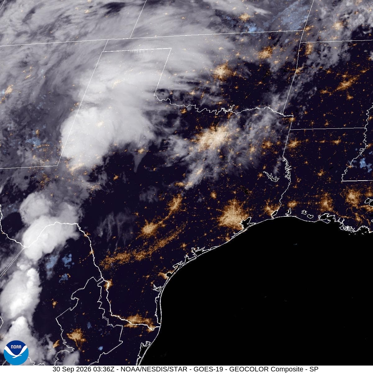
GOES-19 GeoColor satellite composite of Texas and neighboring states at 9:21 a.m. CDT September 30, 2026. Credit: NOAA/NESDIS/STAR.

Van Alstyne residents should prepare for heavier rain overnight and a potentially wet Thursday commute as slow-moving storms spread across North Texas. Grayson and Collin counties remain in a Flood Watch from 4 p.m. Wednesday, September 30, through 7 a.m. Friday, October 2.

The National Weather Service’s Wednesday morning update calls for 2–4 inches across the watch area, with localized totals of 5–7 inches possible where storms repeatedly pass over the same places. The higher totals are a regional possibility, not a prediction for every neighborhood.

Forecasters expect the greatest flash-flood threat to begin in western North Texas Wednesday evening, then expand toward the Interstate 35 corridor overnight and early Thursday. Rain will spread eastward through the region; an exact arrival time for Van Alstyne has not been established.

For families planning early trips, the practical step is to check conditions again before leaving Thursday. Creeks, poorly drained roads and low-water crossings can become hazardous quickly. Keep more than one way to receive warnings, and turn around rather than drive into water covering a road.
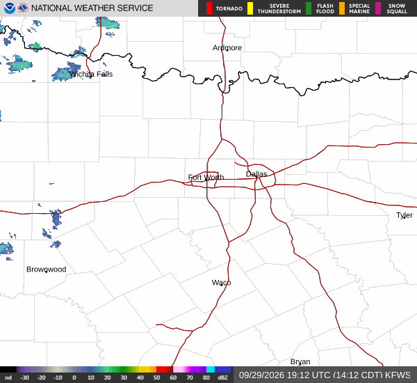
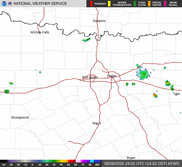
The watch window is unchanged from Tuesday’s report. A watch means flooding is possible; it is not confirmation that a particular road or neighborhood is flooding. Wednesday afternoon’s stronger-storm potential is focused mainly along and west of U.S. 281, while heavy rain is the larger overnight concern.

Sources checked September 30 at 9:34 a.m. CDT: National Weather Service Fort Worth forecast discussion, https://forecast.weather.gov/product.php?issuedby=fwd&product=AFD&site=fwd ; Flood Watch, https://forecast.weather.gov/wwamap/wwatxtget.php?cwa=FWD&wwa=flood+watch .

Image: GOES-19 GeoColor satellite composite of the Southern Plains at 9:21 a.m. CDT Wednesday, September 30. Credit: NOAA/NESDIS/STAR. The image shows cloud cover, not forecast rainfall totals.

Share

Van Alstyne Newsroom

Reporting from Van Alstyne and the surrounding area.

Related Stories

More in Sport