Heat Advisory in Effect for Van Alstyne as Temperatures Climb - Jun 17, 8 AM
Van Alstyne weather, updated every four hours — local forecasts you can trust.
A Heat Advisory is active for Van Alstyne, TX, with heat index values reaching 107 tomorrow. Current conditions are humid with a dew point of 73F.
Marlene Ortiz
June 17, 2026/2 min read
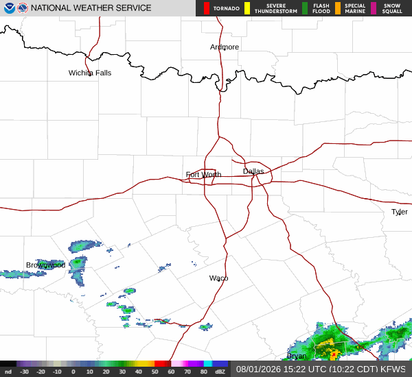
National Weather Service radar for North Texas (KFWS)
As of Jun 17, 8 AM local time.
Current Conditions and Alert Status
A Heat Advisory is currently in effect for Van Alstyne, Texas, signaling moderate severity and expected urgency. The National Weather Service in Fort Worth has issued this advisory to warn residents of dangerously high heat index values. As of this Wednesday morning, the air temperature stands at 77F, though it feels like 79F due to the moisture in the air.
Relative humidity is sitting at 89%, with a dew point of 73F, indicating quite humid conditions. Winds are blowing from the south at 14 mph, with gusts reaching up to 25 mph. The sky remains mostly clear overhead.
Forecast for Today and Tonight
Today, Van Alstyne will see mostly sunny skies with a high near 90F. The heat index is expected to reach as high as 99. South winds will continue at 10 to 20 mph, with gusts as high as 25 mph.
The chance of precipitation is minimal at 1%. As tonight approaches, skies will clear to mostly clear conditions with a low around 74F. The heat index will remain elevated, reaching up to 97.
Winds will shift slightly to the south southeast, maintaining speeds of 10 to 20 mph.
Tomorrow and Safety Reminders
Temperatures will rise significantly tomorrow, with a high near 95F and mostly sunny skies. The heat index is forecast to peak at a dangerous 107. South southeast winds will persist at 10 to 15 mph.
The chance of precipitation remains low at 1%. Tomorrow night, conditions will shift with a slight chance of rain showers between 7pm and 10pm, followed by a slight chance of showers and thunderstorms between 10pm and 1am. A chance of showers and thunderstorms continues between 1am and 4am, with partly cloudy skies and a low around 76F.
The heat index will stay high at 105, with east winds at 5 to 15 mph. The chance of precipitation rises to 50%, with less than a tenth of an inch of rainfall possible.
Given the Heat Advisory and high heat index values, it is crucial to stay hydrated and limit midday exertion. Check on neighbors and elderly relatives who may be vulnerable to extreme heat. Keep vehicles and pets out of direct sunlight, and seek air-conditioned environments during the peak heat hours.
National Weather Service radar for North Texas (KFWS)
Current conditions in Van Alstyne show clear skies and 84°F. Today brings a high near 96°F with mostly sunny skies. Rain chances remain at zero percent through the evening.
Current conditions in Van Alstyne are warm and clear at 88F. Today brings a high near 96F, which is 4F cooler than yesterday's 100F peak. Rain chances remain negligible through the evening.