Back to Weather

5-day forecast / Van Alstyne, TX

TodaySunny86° / 74° 9%
SundayMostly Sunny92° / 78° 2%
MondayChance Showers And Thunderstorms92° / 76° 34%
TuesdayChance Showers And Thunderstorms91° / 75° 34%
WednesdayChance Showers And Thunderstorms88° / 73° 50%

Van Alstyne Heat Index Hits 98F; Humidity Rises

Van Alstyne weather, updated every four hours — local forecasts you can trust.

Van Alstyne residents face oppressive heat and humidity this afternoon with a feels-like temperature of 98F. Conditions remain hot through tomorrow with highs near 92F and a heat index reaching 103F.

Marlene Ortiz

June 20, 20262 min read

National Weather Service radar for North Texas (KFWS)

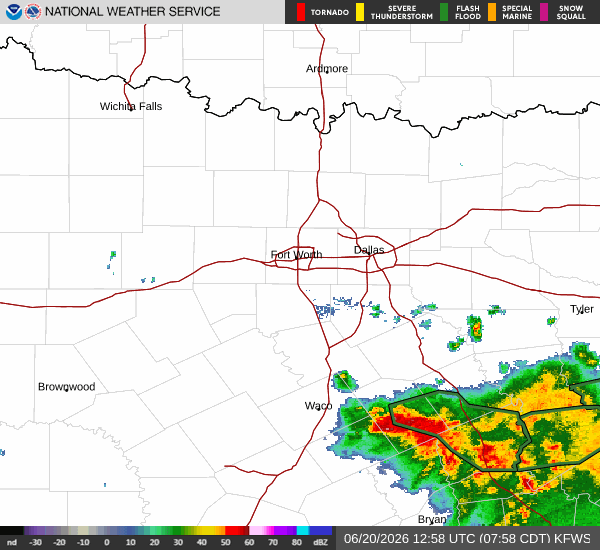
Current Conditions and Heat Stress

Van Alstyne is experiencing a notably hot and humid Saturday afternoon. The air temperature currently stands at 88F, but the combination of heat and moisture pushes the feels-like temperature to 98F. This oppressive humidity is driven by a dew point of 75F and a relative humidity of 66%. Skies are mostly clear, allowing full solar intensity to impact local temperatures. Winds are light at 6 mph, with gusts reaching 8 mph, offering little relief from the warmth.

Forecast for Today and Tomorrow

Today, the sun will remain out with a high near 86F. The low tonight will settle near 74F, though temperatures may briefly rise to around 76F during the overnight hours. Skies will stay mostly clear. Winds will shift to the south-southeast at 5 to 10 mph, with gusts as high as 20 mph. The chance of precipitation is minimal at 9%.

Tomorrow, heat will intensify significantly. Highs will climb to near 92F under mostly sunny skies. The heat index is expected to reach as high as 103F. South winds will increase to 15 to 20 mph, with gusts up to 30 mph. The chance of rain drops to 2%. While there are no active National Weather Service or NOAA weather alerts in effect, the rising heat index warrants caution.

Safety and Outlook

The combination of high temperatures and elevated humidity creates a dangerous environment for prolonged outdoor activity. Residents are advised to stay hydrated and limit midday exertion to avoid heat-related illness. As the heat index approaches 103F tomorrow, extra precautions are necessary for those working or exercising outside. Although the chance of precipitation remains low for the immediate forecast, a chance of showers and thunderstorms is possible after 1am tomorrow night. This late-night activity brings a 30% chance of rain with less than a tenth of an inch possible. Skies will become partly cloudy with a low around 78F. Winds will remain south at 10 to 20 mph with gusts up to 25 mph. The heat index will remain high at 103F during this period. Monitor local updates as conditions evolve.

National Weather Service radar for North Texas (KFWS)

Sources

https://radar.weather.gov

https://api.weather.gov

https://open-meteo.com

Share

Marlene Ortiz

Marlene Ortiz covers weather, storms, and seasonal life across Van Alstyne and Grayson County.

Related Stories