Active Alerts and Current Conditions
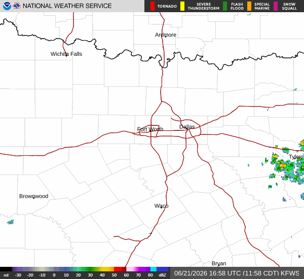
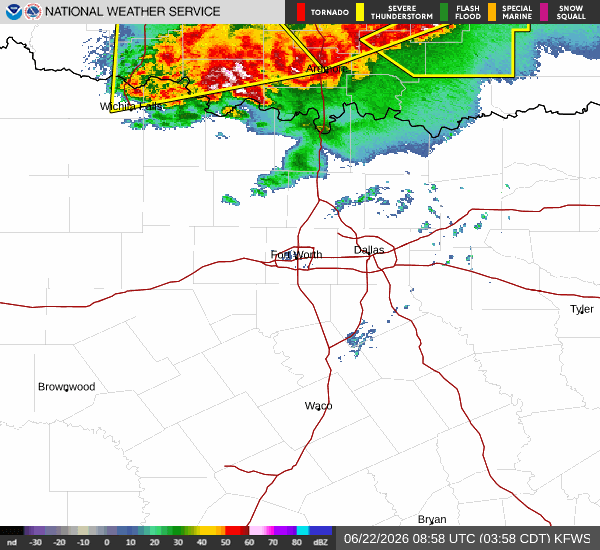
A Severe Thunderstorm Watch is currently in effect for Van Alstyne, Texas. This alert indicates that conditions are favorable for the development of severe thunderstorms. Residents should remain vigilant and be prepared to take shelter if warnings are issued.
It is currently Monday overnight in Van Alstyne. The air temperature stands at 82F, but the oppressive humidity makes it feel like 89F. The relative humidity is at 79%, with a dew point of 75F, creating a muggy atmosphere. Winds are blowing at 8 mph with gusts reaching 33 mph, and the sky remains cloudy.
Forecast for Today and Tomorrow
Today, showers and thunderstorms are expected before 4pm. The high will reach near 89F, but heat index values will climb as high as 100. There is a 90% chance of precipitation, with new rainfall amounts between a half and three quarters of an inch possible. Some of the storms could produce heavy rain. Winds will be from the south southeast around 10 mph, with gusts as high as 20 mph.
Tonight, showers and thunderstorms will continue, with some storms potentially producing heavy rain. A chance of showers and thunderstorms exists after 7pm. The low will be around 76F to 78F. Heat index values may reach 100. Winds will shift to the south at 10 to 15 mph. The chance of precipitation is 90% early in the night, dropping to 40% later, with less than a tenth of an inch of rain possible after 7pm.
Tomorrow, a chance of showers and thunderstorms is expected before 1pm. The sky will be partly sunny with a high near 91F. Heat index values could reach 101. There is a 40% chance of precipitation, with less than a tenth of an inch of rain possible. Winds will be from the south around 10 mph. Tomorrow night will be mostly clear with a low around 77F.