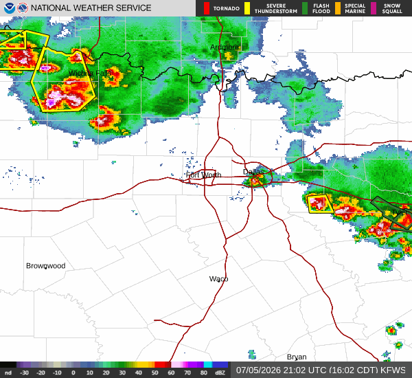
As of Jul 5, 4 PM local time.
Dangerous Heat and Humidity
Van Alstyne is currently under the influence of dangerous heat and oppressive humidity this Sunday afternoon. The air temperature stands at 90F, but the heat index makes it feel like 105F.
This significant discrepancy is driven by a dew point of 79F and a relative humidity of 71%, creating a muggy atmosphere that can make outdoor activities feel much more strenuous than the actual thermometer reading suggests.
Current skies are clear, with winds blowing from the southeast at 6 mph, with gusts reaching up to 4 mph. While the wind is light, it is not enough to significantly alleviate the heavy humidity that has settled over the area. Residents are advised to stay cool and hydrated as the heat lingers.
Forecast for Today and Tomorrow
Looking ahead, the heat will persist through the rest of the day. Today is expected to reach a high near 96F, with a low near 74F. There is a 27% chance of showers and thunderstorms developing.
The National Weather Service indicates a chance of showers and thunderstorms, with partly sunny skies and a high near 96. Heat index values may climb as high as 102. Southeast winds will be around 5 mph, and there is a 30% chance of precipitation, with new rainfall amounts less than a tenth of an inch possible.
Tonight, conditions will remain warm and humid. A chance of showers and thunderstorms is possible before 1am, with mostly cloudy skies. The low will be around 74, though temperatures may rise to around 76 overnight.