Back to Weather

5-day forecast / Van Alstyne, TX

TuesdayMostly Sunny92° / 74°
WednesdayMostly Cloudy then Chance Showers And Thunderstorms92° / 72° 26%
ThursdayShowers And Thunderstorms80° / 69° 93%
FridayShowers And Thunderstorms78° / 65° 85%
SaturdayRain Showers Likely76° / 64° 62%

Flood Watch in Effect for Van Alstyne as Storms Approach - Sep 29, 2 PM

Van Alstyne weather, updated every four hours — local forecasts you can trust.

A severe Flood Watch is active for Van Alstyne through October 1. Temperatures remain near 92 degrees today, with a chance of showers and thunderstorms developing tomorrow.

Marlene Ortiz

September 29, 20262 min read

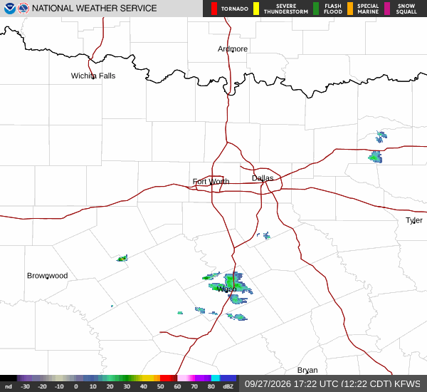
National Weather Service radar for North Texas (KFWS)

*As of Sep 29, 2 PM local time.*

Active Alerts and Current Conditions

Residents in Van Alstyne are under an active Flood Watch, which carries a severe severity rating and future urgency. This alert was issued by the National Weather Service in Fort Worth and remains in effect until October 1 at 1:00 PM CDT. The watch indicates that conditions may become favorable for flooding later in the period.

As of this Tuesday afternoon, the air temperature stands at 90 degrees Fahrenheit, with a feels-like temperature of 91 degrees. Relative humidity is at 43 percent, and the dew point is recorded at 64 degrees. Winds are blowing from the south southeast at 15 mph, with gusts reaching up to 19 mph. The sky remains clear at this moment.

Forecast for Today and Tonight

Today, Van Alstyne will see partly sunny skies with a high near 92 degrees Fahrenheit. The low tonight is expected to drop to around 74 degrees. There is no chance of precipitation today. Winds will continue from the south southeast, ranging between 10 and 15 mph during the evening hours.

Tomorrow’s Storm Potential

Conditions will shift tomorrow with mostly cloudy skies developing throughout the day. A high near 92 degrees is forecast, accompanied by heat index values as high as 97 degrees. The chance of precipitation rises to 30 percent for the day.

A slight chance of rain showers is possible between 1 PM and 4 PM. Following that window, there will be a chance of showers and thunderstorms. Winds will strengthen tomorrow, blowing from the south southeast at 15 to 20 mph, with gusts as high as 30 mph.
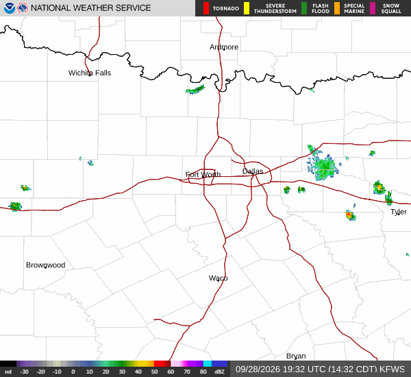
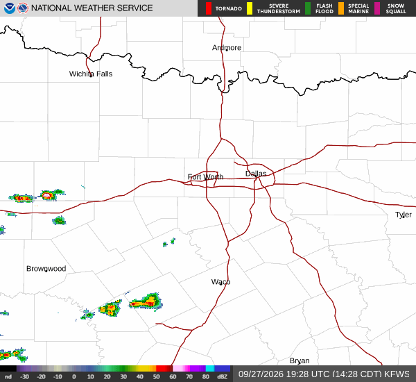
Tomorrow night brings a chance of showers and thunderstorms before 1 AM, followed by likely showers and thunderstorms later. Skies will remain mostly cloudy with a low around 72 degrees, though temperatures may rise to around 74 overnight. The chance of precipitation for the night is 70 percent, with new rainfall amounts between a half and three quarters of an inch possible.

Safety Reminder

With the active Flood Watch in place, residents should monitor local conditions closely. As humidity and heat index values climb toward 97 degrees, it is important to stay hydrated and limit prolonged outdoor exertion during peak heat hours. Be prepared for potential wet roadways as storms approach.

National Weather Service radar for North Texas (KFWS)

Sources

National Weather Service radar

National Weather Service forecast data

Open-Meteo weather data

Share

Marlene Ortiz

Marlene Ortiz covers weather, storms, and seasonal life across Van Alstyne and Grayson County.

Related Stories

More in Sport