Back to Weather

5-day forecast / Van Alstyne, TX

FridaySlight Chance Showers And Thunderstorms94° / 77° 17%
SaturdaySunny then Slight Chance Showers And Thunderstorms96° / 78° 17%
SundaySunny98° / 77° 3%
MondayMostly Sunny96° / 76° 13%
TuesdayMostly Sunny96° / 77° 5%

Van Alstyne Heat Index Hits 101 Today With Humid Conditions

Van Alstyne weather, updated every four hours — local forecasts you can trust.

Van Alstyne faces a very hot Friday with a high near 94F and a heat index up to 101F. Humidity is notable with a dew point of 72F. No severe weather alerts are active.

Marlene Ortiz

July 3, 20262 min read

National Weather Service radar for North Texas (KFWS)

Current Conditions and Heat Index

Van Alstyne is experiencing very hot conditions this afternoon. The air temperature is currently 90F, but the heat index makes it feel like 96F. Humidity levels are quite high, with a dew point of 72F and relative humidity at 56%. The sky remains clear, and winds are blowing from the south at 7 mph with gusts reaching 12 mph.

Today and Tonight Forecast

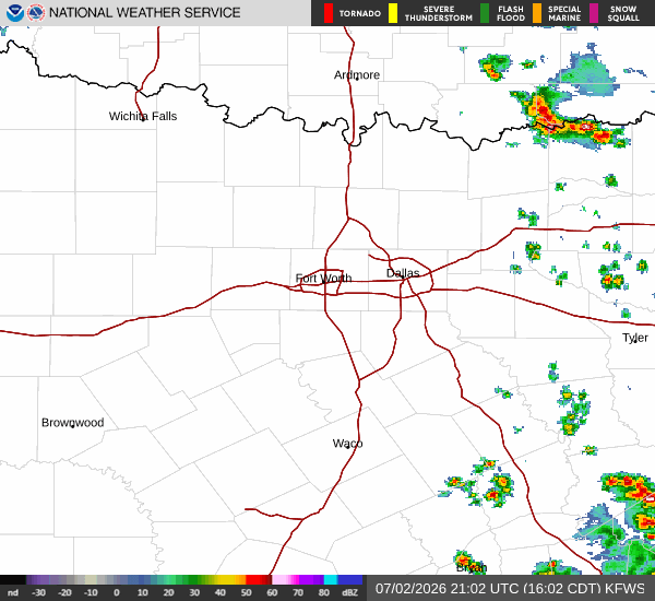
Temperatures will rise today, reaching a high near 94F. The National Weather Service indicates heat index values as high as 101F during the day. There is a slight chance of showers and thunderstorms after 4pm, with a 20% chance of precipitation. Winds will shift to the south around 5 mph.

As evening approaches, the chance for showers and thunderstorms continues before 7pm. Skies will become partly cloudy overnight. The low will drop to around 77F, though temperatures may rise to approximately 79F later in the night. The heat index will remain elevated at values up to 99F. Winds will increase slightly to 5 to 10 mph from the south southeast.

Tomorrow Outlook

Conditions will clear up significantly tomorrow. The sky will be sunny with a high near 96F. Heat index values are expected to climb as high as 104F, making it feel even hotter than the actual air temperature. Winds will come from the south southwest at 5 to 10 mph. The chance of precipitation drops to just 4% for the day.

Safety Reminders

With heat index values reaching 104F tomorrow, it is crucial to stay hydrated and limit midday exertion. Wear lightweight, light-colored clothing and seek air-conditioned environments when possible. Check on elderly neighbors and those who may be vulnerable to extreme heat. Although there are no active weather alerts, the combination of high temperatures and humidity poses a risk for heat-related illnesses. Plan outdoor activities for the early morning or late evening hours when temperatures are lower.

National Weather Service radar for North Texas (KFWS)

Sources

https://radar.weather.gov

https://api.weather.gov

https://open-meteo.com

Share

Marlene Ortiz

Marlene Ortiz covers weather, storms, and seasonal life across Van Alstyne and Grayson County.

Related Stories

More in Sport