Back to Weather

5-day forecast / Van Alstyne, TX

ThursdaySunny96° / 78°
FridayPartly Sunny95° / 79° 1%
SaturdayMostly Sunny97° / 79° 1%
SundaySunny99° / 79°
MondaySunny100° / 80°

Heat Advisory in Effect for Van Alstyne as Feels-Like Temps Hit 103F - Jul 23, 4 PM

Van Alstyne weather, updated every four hours — local forecasts you can trust.

A Heat Advisory is active for Van Alstyne, TX, with dangerous heat index values reaching 105F today. Current conditions show a feels-like temperature of 103F under mostly clear skies.

Marlene Ortiz

July 23, 20262 min read

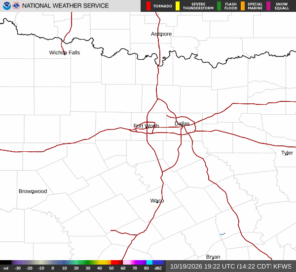
National Weather Service radar for North Texas (KFWS)

*As of Jul 23, 4 PM local time.*

Dangerous Heat Conditions Underway

A Heat Advisory is currently in effect for Van Alstyne, Texas, signaling dangerous heat conditions for the region. As of this Thursday afternoon, the air temperature stands at 93F, but the combination of heat and humidity pushes the feels-like temperature to 103F. The relative humidity is at 53%, with a dew point of 73F, creating a muggy atmosphere that intensifies the perceived heat.

Winds are blowing from the east at 13 mph, with gusts reaching up to 20 mph, while the sky remains mostly clear.

The National Weather Service has issued this advisory due to the significant risk of heat-related illnesses. The official alert is active until July 24 at 8:00PM CDT. Residents should be aware that the heat index values are expected to climb even higher during the peak of the day.

Forecast for Today and Tomorrow

Today, Van Alstyne will experience sunny skies with a high near 96F. The heat index values are forecast to reach as high as 105F. East winds will continue around 15 mph. There is a 0% chance of precipitation, so the heat will remain the primary concern.

Tonight, conditions will ease slightly with mostly clear skies and a low around 78F. However, the heat will linger, with heat index values as high as 102F. Winds will shift to the east southeast at 10 to 15 mph. The humidity will remain noticeable, so the air will still feel heavy.

Tomorrow, the area will see partly sunny skies with a high near 95F. Heat index values are expected to reach 104F. Winds will come from the south southeast at 10 to 15 mph.

The chance of precipitation is minimal at 1%. Overnight, temperatures will drop to around 79F, though they may rise to 81F later in the night. Heat index values will remain high at 101F, with south winds at 10 to 15 mph.

Safety Reminders

Given the active Heat Advisory and the high heat index values, it is crucial to take precautions. Stay hydrated by drinking plenty of water throughout the day. Limit outdoor exertion, especially during the midday hours when the sun is strongest.

Check on elderly neighbors and those who may be vulnerable to heat stress. If you must be outside, seek shade and wear lightweight, light-colored clothing to help manage the intense heat.

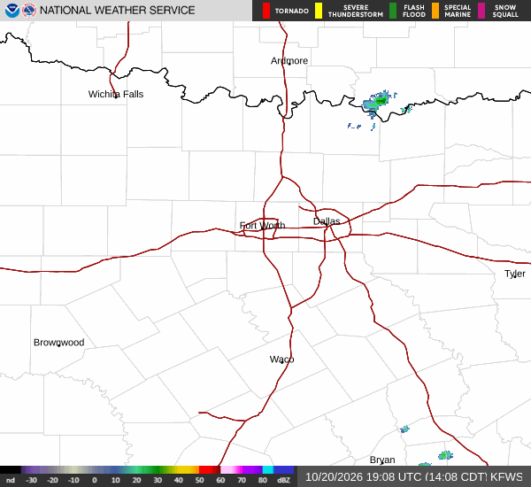
National Weather Service radar for North Texas (KFWS)

Sources

https://radar.weather.gov

https://api.weather.gov

https://open-meteo.com

Share

Marlene Ortiz

Marlene Ortiz covers weather, storms, and seasonal life across Van Alstyne and Grayson County.

Related Stories

More in Sport