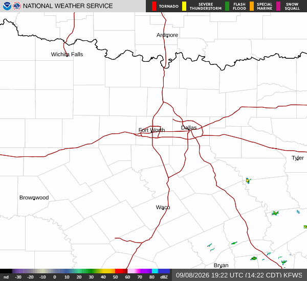
*As of Sep 9, 2 PM local time.*
Dangerous Heat Conditions Underway
Van Alstyne, TX, is currently under an active Heat Advisory issued by the National Weather Service in Fort Worth. This moderate-severity alert remains in effect until 8:00 PM CDT on September 9. The advisory highlights the significant risk posed by extreme heat and humidity across the region.
Current conditions reflect the intensity of this weather pattern. At this afternoon, the air temperature stands at 97F, but the combination of heat and moisture pushes the feels-like temperature to a dangerous 104F. The relative humidity is at 42%, with a dew point of 70F, indicating substantial moisture in the air that hinders the body's ability to cool itself.
Winds are blowing from the south at 11 mph, with gusts reaching 10 mph, under clear skies.
Forecast for Today and Tomorrow
Today is expected to remain sunny with a high near 98F. The National Weather Service notes that heat index values will climb as high as 104 during the day. South winds will hover around 10 mph. There is only a 1% chance of precipitation, so residents should expect dry conditions despite the oppressive heat.
Tonight, skies will clear with a low near 77F. However, temperatures are forecast to rise to around 79F overnight, keeping the heat index as high as 101. South winds will decrease to 5 to 10 mph. The lack of cooling relief overnight is a key factor in the advisory's duration.
Tomorrow brings a slight shift in conditions. While the sky will start sunny with a high near 97F, there is a chance of showers and thunderstorms after 1pm. The heat index may reach 103 before temperatures fall to around 95 in the afternoon.