Back to Weather

5-day forecast / Van Alstyne, TX

MondayChance Showers And Thunderstorms93° / 70° 30%
TuesdayMostly Sunny93° / 70° 5%
WednesdayMostly Sunny92° / 68° 3%
ThursdayMostly Sunny91° / 67° 2%
FridayMostly Sunny91° / 68°

Van Alstyne Heat Persists With Afternoon Storm Chance - Sep 21, 2 PM

Van Alstyne weather, updated every four hours — local forecasts you can trust.

Temperatures in Van Alstyne remain very hot this afternoon with a feels-like reading of 96F. A chance for showers and thunderstorms exists today, while tomorrow looks mostly sunny.

Marlene Ortiz

September 21, 20262 min read

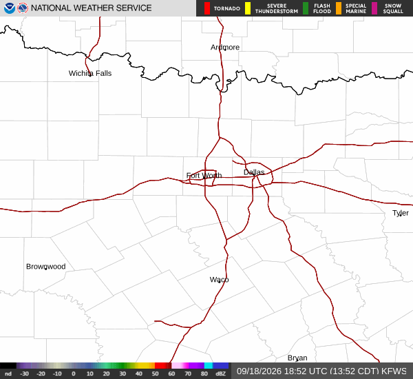
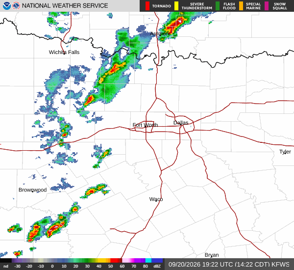
National Weather Service radar for North Texas (KFWS)

*As of Sep 21, 2 PM local time.*

Current Conditions and Heat Index

The heat is firmly established over Van Alstyne this Monday afternoon. The air temperature is currently sitting at 93F, but the combination of humidity makes it feel significantly warmer. The feels-like temperature, or heat index, is registering at 96F right now.

Humidity levels are moderate at 41 percent, with a dew point of 66F. Winds are light, blowing from the north northeast at 5 mph, with gusts reaching up to 5 mph. The sky remains clear overhead as residents navigate the high temperatures.

Today and Tonight Forecast

The National Weather Service indicates that today will see a high near 93F. While the sun is out, there is a 30 percent chance of showers and thunderstorms developing later in the day. Heat index values are expected to climb as high as 98F during the peak heat hours.

As evening approaches into tonight, the chance for precipitation remains at 30 percent, with storms possible before 10pm. The sky will become mostly clear after that window. Temperatures will drop to a low near 70F, though they may rise slightly to around 72F during the overnight hours. Winds will continue from the north northeast at 5 to 10 mph.
Tomorrow Outlook

Looking ahead to tomorrow, conditions will stabilize with mostly sunny skies. The high will again reach near 93F, but afternoon temperatures may dip slightly toward 90F. Despite the clear sky, the heat index could still peak around 99F due to lingering humidity.

There are no active National Weather Service or NOAA weather alerts in effect for this area. Residents should remain aware of the persistent heat. It is advisable to stay hydrated and limit strenuous outdoor activities during the hottest parts of the day. Checking on neighbors, especially those who may be vulnerable to extreme heat, remains a prudent step as temperatures stay elevated.

National Weather Service radar for North Texas (KFWS)

Sources

National Weather Service radar

National Weather Service forecast data

Open-Meteo weather data

Share

Marlene Ortiz

Marlene Ortiz covers weather, storms, and seasonal life across Van Alstyne and Grayson County.

Related Stories

More in Sport