Storm Track and Local Impact
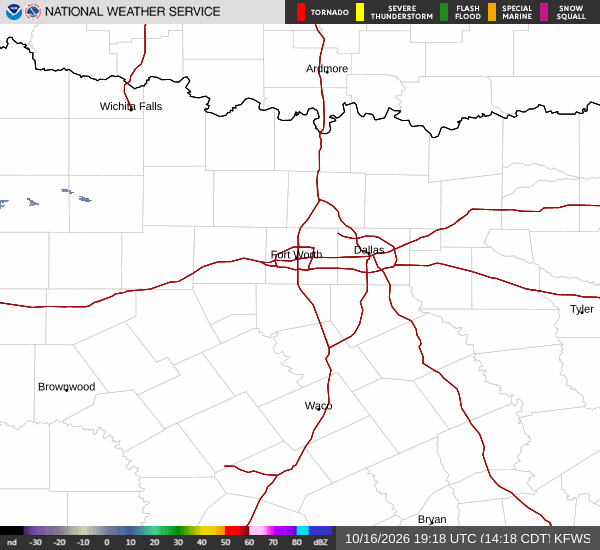
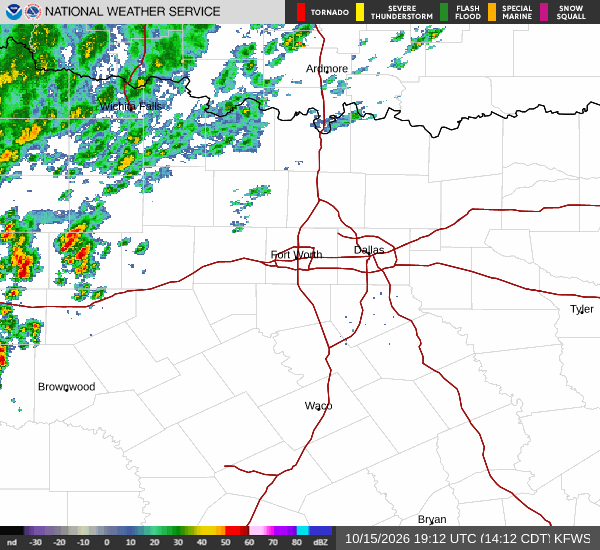
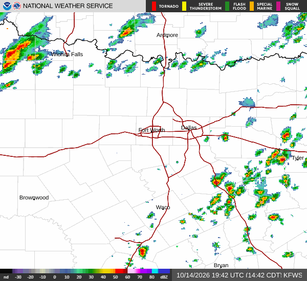
Tropical Storm Edouard is currently tracking toward the Texas-Louisiana border, but its path keeps it well to the south of the Dallas-Fort Worth metroplex. For Van Alstyne, this means the storm largely misses the area, sparing residents from significant rainfall or severe wind impacts. While the system is expected to bring heavier rain to Southeast Texas, local conditions remain dominated by heat and sunshine.
The storm is forecast to turn west-northwest and weaken as it approaches Central Texas, but its primary influence on this specific location is minimal. There are no active National Weather Service alerts in effect for the area, and the focus remains on managing the persistent heat rather than storm preparation.
Current Conditions and Today’s Outlook
It is currently Tuesday morning in Van Alstyne, with the air temperature sitting at 90 degrees Fahrenheit. The heat index makes it feel like 95 degrees, with relative humidity at 52 percent and a dew point of 70 degrees. Winds are light, blowing from the south southeast at 6 miles per hour with gusts to 7 miles per hour, and the sky is clear.
Today will see a high near 99 degrees, with heat index values potentially reaching 102 degrees. There is an 11 percent chance of precipitation, with a slight chance of rain showers between 1 p.m. and 4 p.m., followed by a slight chance of showers and thunderstorms. The low will be near 76 degrees.
Residents should stay hydrated and limit midday exertion due to the high heat index values.